Sector
- Municipal
- Transportation
Client
- City of Chicago Department of Transportation (CDOT)
Services Provided
- Surveying
- Civil Engineering
- Environmental Consulting
Location
- Chicago, Illinois
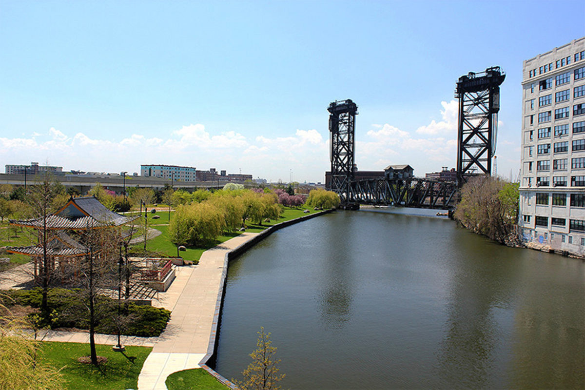
In 2017, the City of Chicago’s Department of Transportation (CDOT) requested consultant planning and engineering evaluations to develop a South Branch Implementation Plan for the proposed Riverfront Trail.
The proposed trail is along the east edge of the South Branch of the Chicago River starting at State Street and Wacker Drive and ending at Ping Tom Park at West 18th Street and South Lumber Street.
As a member of the AECOM team, EDI prepared a Corridor Study for this project that provided an overview of relevant and evident environmental constraints and conditions for the proposed trail. Pertinent historical data involving the site was reviewed, including state and federal environmental databases such as UST, LUST, RCRA, CERCLA, NPL, Landfill, ERNS, CORRACTS, PADS, TRI, DOCKET, TSCA, SCL, SRP, SWF and NEIPC. Physical inspections of the site were also done to determine the presence of stressed vegetation; unusual staining; unusual business practices; waste stream including wastewater, solid waste, and air emissions; and aboveground storage tank (AST) and underground storage tank (UST) systems.
EDI provided topographic survey along the riverbank, up to adjacent developed properties, and at bridge crossings. Public information was compiled from bathymetric and hydrographic surveys and reports, utility and freight tunnel atlases, and adjacent properties.
EDI was also responsible for a preliminary cost estimate in support of AECOM’s concept submittal to CDOT. This included creating and refining a cost estimate and providing civil feedback on programmatic and site features.